

The GenFocal framework employs a rectified flow operator to map biased climate model outputs onto observed weather distributions through a series of ordinary differential equations. This mathematical innovation addresses the persistent “resolution gap” that has long hampered the utility of global climate models for regional decision-making. While these global models are highly effective at capturing broad planetary trends over multiple decades, their spatial resolution remains significantly coarse, often representing hundreds of square kilometers as a single data point. For city planners, emergency management teams, and civil engineers in 2026, such broad strokes provide little help when trying to protect specific infrastructure or manage neighborhood-level heat risks. A single grid cell in a standard global model might encompass an entire metropolitan area, failing to differentiate between a coastal district cooled by sea breezes and an inland industrial zone trapped in a heat island. To solve this, researchers from Google Research and the California Institute of Technology developed GenFocal to act as a bridge, translating fuzzy global projections into sharp, localized, and statistically accurate weather intelligence that meets the demands of modern regional planning.
A New Architecture for Climate Precision
Bridging the Data Divide: Generative AI Strategies
GenFocal overcomes the limitations of traditional climate modeling through a sophisticated two-stage architecture that prioritizes statistical behavior over the impossible task of matching specific historical dates. The first stage serves as a bias-correction operator, utilizing a technique known as rectified flow. This stage maps the probability distribution of coarse, often biased climate model outputs directly onto the distribution of actual observed weather at that same resolution. By using a neural-network vector field to transport one probability distribution into another via an ordinary differential equation, the system ensures that the foundational data is accurate before any high-resolution detail is added. This is a critical step because global models frequently suffer from systematic errors in how they represent average moisture levels or temperature gradients. Without this initial alignment, any further attempts to add detail would simply result in high-resolution versions of incorrect data. By shifting the mathematical focus to matching how weather behaves statistically, the framework creates a more robust foundation for regional downscaling that remains consistent with the physical laws governing the atmosphere.
The second stage of the framework leverages a conditional diffusion model—a technology similar to those found in state-of-the-art generative image tools—to perform “super-resolution” on the corrected data. This process effectively inverts the blurring effect inherent in global climate models, taking daily data provided at a 1.5-degree resolution and transforming it into high-fidelity, two-hourly information at a 0.25-degree resolution. This allows GenFocal to generate long, temporally coherent sequences of weather that can span several months, providing the exact level of granularity needed for regional risk assessments. Unlike older statistical methods that often struggle with temporal consistency, this diffusion-based approach ensures that the transition between weather states is physically plausible and smooth. By generating these detailed spatiotemporal sequences, the framework provides a realistic look at how large-scale atmospheric shifts will actually manifest on the ground, allowing for more precise simulations of local environment stress and resource demand without the prohibitive computational costs associated with dynamical physics-based models.
Probabilistic Modeling: Beyond Fixed Historical Dates
A major hurdle in training standard machine learning models for climate science is the chaotic nature of free-running climate simulations. Because these models do not produce weather that matches specific calendar dates, they cannot be easily compared to historical observations on a day-to-day basis. GenFocal bypasses this “alignment” problem by focusing on matching the statistical distributions of weather variables rather than trying to replicate a specific day in history. This ensures that the AI learns the underlying patterns and relationships within the climate system—such as how humidity levels typically respond to temperature spikes in a specific region—rather than just memorizing past events. This shift in methodology is essential for creating a tool that remains flexible across different climate scenarios and geographic regions. By training the AI to recognize the probability of certain weather states occurring given a set of large-scale conditions, the researchers created a system that is far more versatile than traditional supervised learning models that require perfectly matched input and output pairs. Furthermore, this probabilistic approach allows for the characterization of uncertainty, which is vital for high-stakes decision-making in sectors like insurance and public health. Traditional downscaling methods often provide a single “best guess” that can lead to a false sense of security or a failure to prepare for extreme outliers. GenFocal, however, can generate an entire ensemble of possible weather outcomes based on the same global input, reflecting the inherent variability of the atmosphere. This enables users to explore a range of potential scenarios, including worst-case events that are physically possible but statistically rare. This capability is particularly useful for assessing compound hazards, where multiple weather factors interact in complex ways. By capturing the full spectrum of potential local weather responses to global changes, the framework provides a more comprehensive view of risk than was previously possible with computationally cheaper statistical methods, effectively bridging the gap between high-speed data processing and high-fidelity physical realism.
Testing AI Against Extreme Weather
Tracking Cyclones: Enhancing Storm Resolution
The efficacy of the GenFocal framework was rigorously tested against some of the most destructive and complex weather phenomena, most notably tropical cyclones. One of the most striking results of the research was the model’s ability to resolve hurricanes even though it was never explicitly trained to “build” them or given instructions on storm physics. In the raw, coarse data provided by global models, these storms often appear weak, oddly shaped, or are missed entirely due to the lack of spatial resolution. However, when GenFocal processed this data in the North Atlantic basin, it was able to accurately reproduce cyclone statistics that closely matched real-world reanalysis data. This included capturing track density, the specific locations of storm formation known as cyclogenesis, and even the structural morphology of the storms as they intensified. This suggests that the generative AI is capable of recognizing the large-scale environmental “ingredients” that favor hurricane development and can synthesize a physically plausible storm that the original coarse model lacked the resolution to simulate.
This breakthrough has significant implications for coastal resilience and disaster preparedness. Historically, simulating enough high-resolution storm tracks to understand rare, extreme landfall events required immense supercomputing power that could exhaust research budgets. GenFocal offers a computationally efficient alternative that maintains the physical integrity required for meaningful analysis. By accurately modeling the landfall counts and intensities of these storms, the AI provides a tool that can help regional authorities better understand their vulnerability to changing hurricane patterns. The model’s ability to “see” the large-scale conditions that drive these systems and then generate the appropriate fine-scale detail means that researchers can now run thousands of potential storm scenarios in a fraction of the time it previously took. This leap in efficiency allows for a more detailed exploration of how shifting global temperatures might alter storm behavior, providing a level of foresight that was once limited by the sheer scale of the calculations required.
Managing Heat Hazards: Addressing Compound Risks
In addition to tracking cyclones, GenFocal demonstrated a superior ability to handle compound heat extremes, specifically those measured by the heat index. The heat index is a crucial metric for public health as it combines temperature and humidity to reflect how hot the weather actually feels to the human body. Conventional statistical downscaling methods frequently underestimate the correlation between these two variables during extreme events, leading to dangerous gaps in planning for heatwaves. In comparison to established industry standards like BCSD and STAR-ESDM—the latter being the current benchmark for national climate assessments in the United States—GenFocal reduced the average bias in 99th-percentile heat index calculations by more than 35%. This is a vital improvement for energy grid operators and health officials who must prepare for the periods of highest demand and mortality. By capturing the “tail dependence” or the extreme interactions between heat and moisture, the model provides a far more accurate representation of the threats posed to human health.
The ability to accurately predict the duration and intensity of these compound events is perhaps the model’s most practical contribution to public safety. Mortality rates during heatwaves often climb significantly after several consecutive days of extreme conditions, as the body and infrastructure lose the ability to recover. GenFocal successfully reduced the bias in predicting these multi-day streaks of extreme heat by as much as 57% over existing methods. This level of precision allows for more targeted public health warnings and more efficient management of cooling centers and emergency resources. Furthermore, the model’s performance in modeling these extremes highlights its capacity to maintain consistency across multiple variables simultaneously, a feat that has long been a challenge for AI in the atmospheric sciences. By ensuring that temperature and humidity are adjusted in a physically coherent manner, GenFocal provides a reliable tool for assessing the future of urban habitability in a warming climate, ensuring that local data is as scientifically sound as it is detailed.
Long-Term Reliability and Practical Use
Capturing Microclimates: The Importance of Spatial Integrity
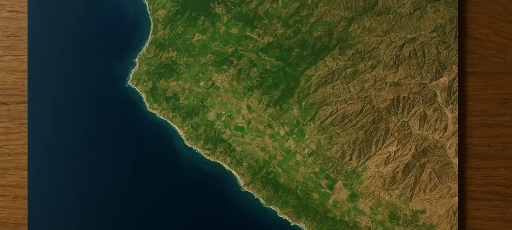
The spatial precision offered by GenFocal is particularly evident in its ability to model complex microclimates and regional weather patterns that are often lost in coarser models. A prime example is the “summertime decorrelation” observed in California, where coastal areas like San Francisco remain significantly cooler due to sea breezes and marine layers while inland regions like the Central Valley experience extreme heat. While traditional downscaling tools often predict a uniform warming trend across such regions, GenFocal correctly identified how local terrain and coastal influences modulate temperature. The model accurately simulated the physical reality that coastal cooling effects could potentially intensify as inland temperatures rise, a nuance that is absolutely vital for regional energy planners and water managers. This level of spatial integrity ensures that the AI is not just adding random detail to a map, but is instead generating patterns that are deeply rooted in the geographical and physical characteristics of the local landscape.
This attention to detail extended to wind speeds and other complex variables that are heavily influenced by mountainous terrain and local geography. In many regions, wind patterns are shaped by small-scale features that global models simply cannot see, yet these patterns are essential for everything from wildfire risk assessment to the optimization of wind energy production. GenFocal reproduced these intricate spatial patterns with a high degree of accuracy, outperforming competing models that lacked a sophisticated understanding of local topography. For officials managing specific resources in geographically diverse states, this means having access to data that respects the unique conditions of their jurisdiction. By providing a high-resolution view that accounts for microclimates, the framework allows for a more nuanced approach to climate adaptation. This helps ensure that investments in infrastructure and public safety are directed toward the areas of greatest need, based on a scientifically rigorous understanding of how local conditions will evolve alongside global trends.
Actionable Pathways: Implementing Global Insights Locally
The study concluded that the GenFocal framework provided a superior pathway for translating global climate science into local intelligence, offering a significant improvement over existing downscaling methodologies. Researchers emphasized that the model maintained a strong connection to the underlying physics of global models, which prevented the AI from “hallucinating” weather patterns that were inconsistent with future climate change signals. For instance, when projecting temperature changes through the year 2080, GenFocal’s results aligned with expensive, physics-based dynamical simulations, correctly identifying stronger warming trends in inland cities like Phoenix compared to coastal San Diego. The investigation also confirmed that the model accurately reflected the poleward migration of storm intensity and an increase in hurricane landfalls along the eastern coast of the United States. These findings suggested that the framework could reliably serve as a long-term planning tool, capable of capturing the shifting risks of the mid-21st century without erasing the critical signals of human-induced warming.
To facilitate widespread adoption, the research team made the model’s weights, training data, and source code available to the global scientific community. This open-science approach encouraged regional authorities and private sector stakeholders to adapt the tool for their specific geographical hazards and policy needs. The study recommended that local governments integrated these high-resolution projections into their urban resilience strategies, particularly for managing energy grid loads and public health responses during multi-day heat extremes. By providing a computationally affordable and physically consistent method for downscaling, the researchers established a new standard for climate risk assessment. Future implementations focused on utilizing these localized insights to refine insurance pricing models and to optimize the placement of renewable energy infrastructure. Ultimately, the successful deployment of GenFocal showed that the combination of generative AI and traditional climate physics allowed for a more granular and actionable understanding of environmental change, providing the necessary data to protect vulnerable communities in an increasingly volatile world.